

Stories from the Watershed

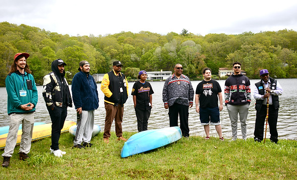
The Living Atlas is more than just maps—it’s a living repository of stories, insights, and observations from people who know this region intimately. Through personal narratives and contributions to our Alliance Watershed Observation app, the Living Atlas reflects both data and lived experience.
Be a Part of the Living Atlas:
Make an Observation in Our Watershed Observation App
As you explore, we invite you to contribute your own perspective.
Notice something interesting in the watershed?
Maybe it’s a flooded trail, a patch of invasive plants, or a flock of migrating birds. Share what you see! Your observation becomes part of the Living Atlas and helps our community better understand what’s happening across the watershed.
Discover Connections in Our Watershed
By combining different data layers, you can visualize their interactions and relationships. Start exploring today!
You can explore the full version of the map here with all the layers together. The button above will open a new window where you can interact with the map—click on features, toggle layers on and off, and zoom into specific areas of interest.
Once the map loads, click the layers icon (three stacked papers) on the left-hand side to view available layers. Use the eye icon to toggle individual maps on and off. If you don’t see the icon, try expanding the menu.
Looking for a quicker snapshot? A simplified version of the map is available at the bottom of this page, highlighting key features like water quality, protected open spaces, and boundaries.